Saba
Why visit Saba
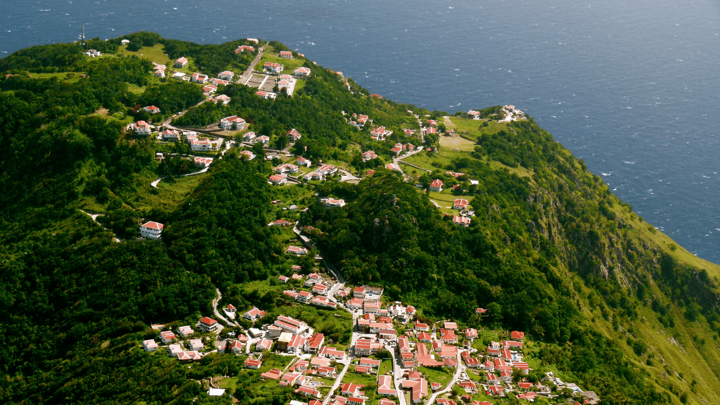
Saba is a small special municipality of the Netherlands in the northern Leeward Islands, rising steeply from the Caribbean Sea. The island is dominated by Mount Scenery, cloud forest and narrow volcanic ridges, with The Bottom as its capital and Windwardside as the main visitor village. Beaches are limited, so Saba’s appeal is centred on terrain, community and the surrounding sea.
Hiking trails climb through rainforest and cloud forest, pass historic paths and reach viewpoints above the island. The Saba Marine Park protects reefs, pinnacles and deeper dive sites, while villages contain cottages, small restaurants, craft traditions and gardens adapted to steep ground. The island’s scale makes walking and guided outdoor activities central to most visits.
Saba’s history includes Indigenous Caribbean presence, European settlement, African heritage, seafaring, migration and a long period of practical self-reliance. English is widely used in everyday life and Dutch is the official language of the public body. Local architecture, Saba lace, food, church communities and oral histories help explain how a small island society developed within the wider Dutch Caribbean.
Saba is reached mainly by short regional flights from Sint Maarten and by sea connections that depend on weather and operating schedules. There are few roads, no large resort zone and a limited range of accommodation, so visitors benefit from arranging transport, stays and activities ahead of time. The island rewards a slower itinerary built around hiking, diving, village life and changing mountain weather.
Experiences in Saba
WānaTravel partners with Viator and GetYourGuide so you can browse and book experiences directly. Prefer a personal touch? Contact WānaTravel and we'll add it to your itinerary for you.
Practical Information
Travel essentials, government safety advisories and The Out Index score for Saba.

Out Score of Saba
Out Score of Saba
67
Tier B